


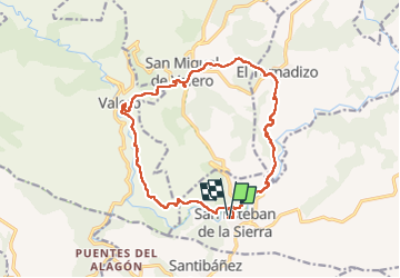

12.8 km | 17.5 km-effort


User


FREE GPS app for hiking
 SityTrail
IGN / Geographical institutes
SityTrail World
The world is yours!
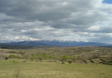
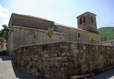
Trail Walking of 18.7 km to be discovered at Castile and León, Unknown, San Esteban de la Sierra. This trail is proposed by taguette.
On foot
On foot